![Tour de Coalfields - West Virginia - Tracks [Digital]](http://adv-tim.com/cdn/shop/files/tour-de-coalfields.png?v=1706621856&width=1445)
![Tour de Coalfields - West Virginia - Tracks [Digital]](http://adv-tim.com/cdn/shop/files/tdc_preview_1.jpg?v=1706621856&width=1445)
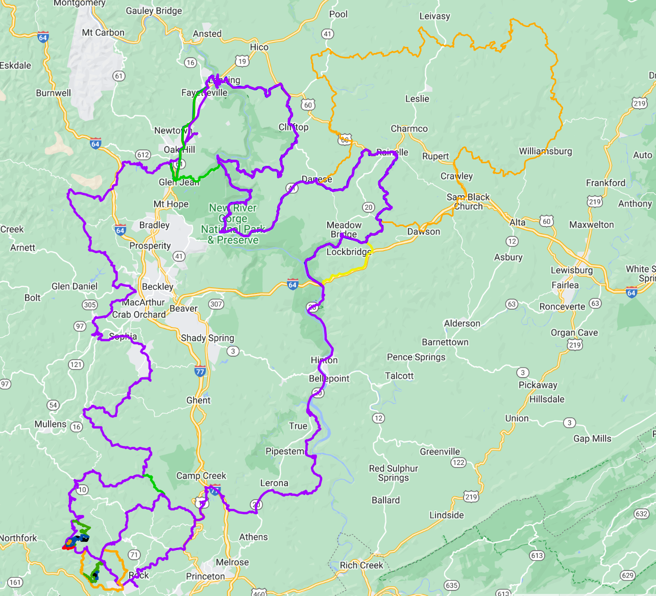
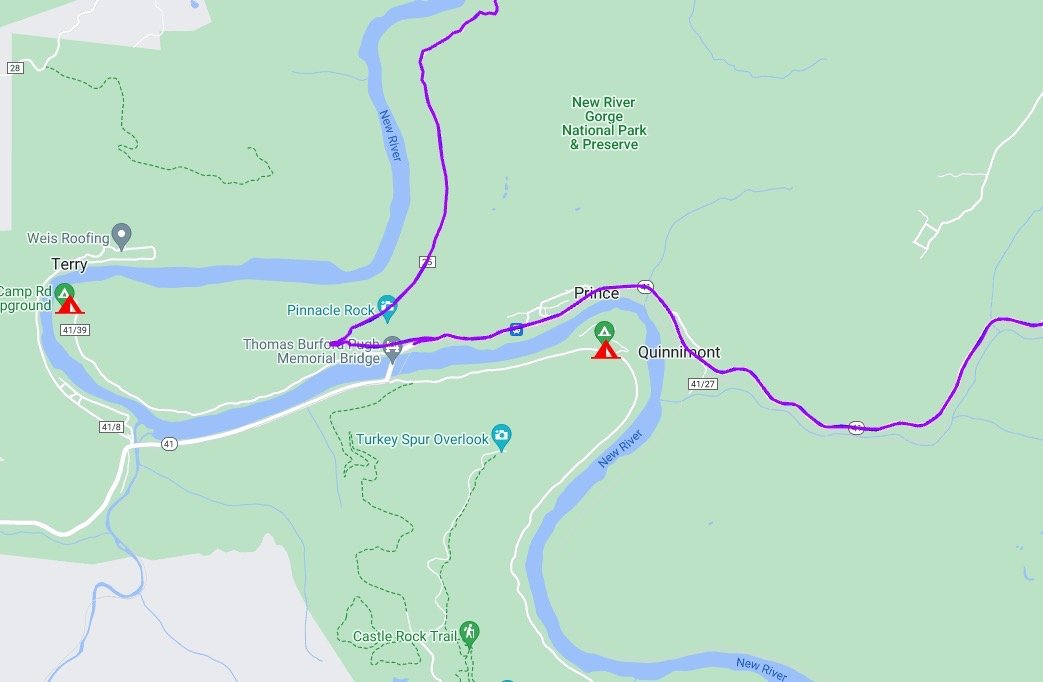
These are the GPX Files used for our Tour de Coalfields Tour, to be used for a self-guided tour. These have been curated for accuracy, ridden, marked for fuel, food and camping locations. Optional routes are included for the North East Windmill section, as well as highlighting the Hatfield McCoy trails near the South West corner of the loop.
These can be delivered as a two (2) or three (3) day route. Feel free to reach out if you’d like other custom options as well.


